Regional Transportation Simulation Tool for Emergency Evacuation Planning (Click to play movie)
Large-scale evacuations from major cities during no-notice events - such as chemical or radiological attacks, hazardous material spills, or earthquakes - have an obvious impact on large regions rather than on just the directly affected area. The scope of impact includes the accommodation of emergency evacuation traffic throughout a very large area; the planning of resources to respond appropriately to the needs of the affected population; the placement of medical supplies and decontamination equipment; and the assessment and determination of primary escape routes, as well as routes for incoming emergency responders. Compared to events with advance notice, such as evacuations based on hurricanes approaching an affected area, the response to no-notice events relies exclusively on pre-planning and general regional emergency preparedness.
Another unique issue is the lack of a full and immediate understanding of the underlying threats to the population, making it even more essential to gain extensive knowledge of the available resources, the chain of command, and established procedures. Given the size of the area affected, an advanced understanding of the regional transportation systems is essential to help with the planning for such events. The objectives of the work described here (carried out by Argonne National Laboratory) is the development of a multi-modal regional transportation model that allows for the analysis of different evacuation scenarios and emergency response strategies to build a wealth of knowledge that can be used to develop appropriate regional emergency response plans. The focus of this work is on the effects of no-notice evacuations on the regional transportation network, as well as the response of the transportation network to the sudden and unusual demand.
The effects are dynamic in nature, with scenarios changing potentially from minute to minute. The response to a radiological or chemical hazard will be based on the time-delayed dispersion of such materials over a large area, with responders trying to mitigate the immediate danger to the population in a variety of ways that may change over time (e.g., in-place evacuation, staged evacuations, and declarations of growing evacuation zones over time). In addition, available resources will be marshaled in unusual ways, such as the repurposing of transit vehicles to support mass evacuations. Thus, any simulation strategy will need to be able to address highly dynamic effects and will need to be able to handle any mode of ground transportation. Depending on the urgency and timeline of the event, emergency responders may also direct evacuees to leave largely on foot, keeping roadways as clear as possible for emergency responders, logistics, mass transport, and law enforcement.
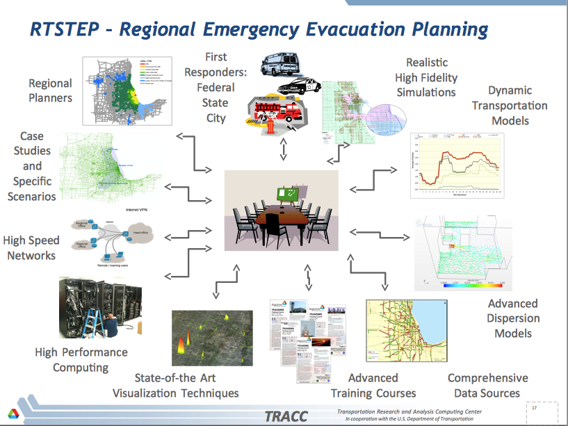
This RTSTEP project developed a regional emergency evacuation modeling tool for the Chicago Metropolitan Area that emergency responders can use to pre-plan evacuation strategies and compare different response strategies on the basis of a rather realistic model of the underlying complex transportation system. This approach is a significant improvement over existing response strategies that are largely based on experience gained from small-scale events, anecdotal evidence, and extrapolation to the scale of the assumed emergency. The new tool will thus add to the toolbox available to emergency response planners to help them design appropriate generalized procedures and strategies that lead to an improved outcome when used during an actual event.


